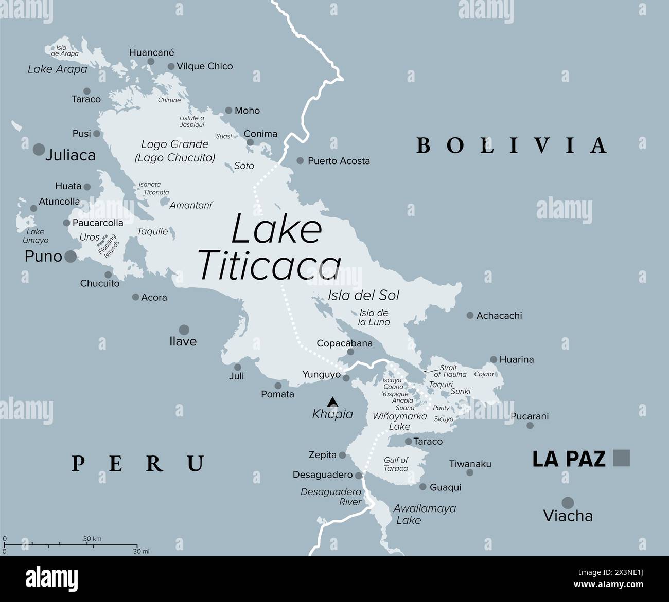
Lake Titicaca, gray political map. Large freshwater lake in the Andes mountains on the border of Bolivia and Peru.
RFID:Image ID:2X3NE1J
Image details
Contributor:
Peter Hermes Furian / Alamy Stock PhotoImage ID:
2X3NE1JFile size:
123.8 MB (991 KB Compressed download)Releases:
Model - no | Property - noDo I need a release?Dimensions:
7210 x 6000 px | 61 x 50.8 cm | 24 x 20 inches | 300dpiDate taken:
28 April 2024Location:
Lake TiticacaMore information:
Lake Titicaca, gray political map. Large freshwater lake in the Andes mountains on the border of Bolivia and Peru. Often called highest navigable lake in the World, and largest lake in South America.